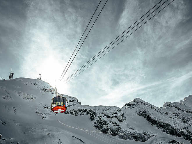
The fascination of ski touring has caught you and you are looking for routes or want to start your first tours this winter? In and around Engelberg there are a variety of ski tours with different levels of difficulty. In the front Engelberg valley, the small rustic Buiräbähnli offer you "start help" on request to get to the starting point of your ski tour.
Cosy ski tour from Engelberg to the top tip of the striking triangle at Hahnen.
moderate
Distance 7.7 km
Duration2:13 h
Ascent881 m
Descent874 m
Highest point1,903 m
Lowest point1,022 m
The striking triangle at Hahnen can be seen particularly well from the village of Engelberg. When visibility is good, the turns can be admired from the village. From the Restaurant Schweizerhaus, the trail leads through the woods to the open triangle above and below Zieblen up to point 1909. The descent then takes you in a general direction to the Restaurant "Ende der Welt".
Author
Engelberg - Titlis Tourismus
Update: December 04, 2023
Difficulty
moderate
Overall difficulty
moderate
Derived from the technical difficulty and the stamina requirements.
Experience
Landscape
Highest point
1,903 m
Lowest point
1,022 m
Best time of year
Jan
Feb
Mar
Apr
May
Jun
Jul
Aug
Sep
Oct
Nov
Dec
Track types
Show elevation profile
Safety information
Safety tips for off-piste skiing
Please note that you are travelling at your own risk.
A ski tour must be carefully planned.
Appropriate equipment (avalanche transceiver, probe, shovel, airbag) and clothing are essential safety factors.
National and international connections (from Zurich airport connections every half hour with approx. 1h travel time) to Lucerne. Afterwards with the Zentralbahn in 43 minutes through varied landscape and gorges up to Engelberg.
Directions
By car you drive on the A2 (Basel-Gotthard) to Stans Süd, then on the main road 20 km to Engelberg. Engelberg is 30 minutes from Lucerne, 1 hour and 15 minutes from Basel, Zurich or Bern.
Parking
Parking spaces are available in Engelberg for a fee.
Coordinates
SwissGrid
2'675'145E 1'185'766N
DD
46.818806, 8.423354
DMS
46°49'07.7"N 8°25'24.1"E
UTM
32T 456012 5185190
w3w
///chain.squabbles.oatmeal
Get there by train, car, bike, or on foot!
Equipment
The equipment can be rented in the sports shops of Engelberg.
Similar routes nearby
Large Spannort
Alpelenhörnli
Wissberg
Titlis Rundtour - The alpine classic
Laucherenstock
These suggestions were generated by our system
Difficulty
moderate
Overall difficulty
moderate
Derived from the technical difficulty and the stamina requirements.
Distance
7.7 km
Duration
2:13 h
Ascent
881 m
Descent
874 m
Highest point
1,903 m
Lowest point
1,022 m
Morning
Afternoon
Avalanche conditions
·
Weather at the route's trailhead
Statistics
Content
Show imagesHide images
Features
Maps and trails
Nothing selected - click and drag in the elevation profile to zoom