All ski tours

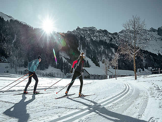
The fascination of ski touring has caught you and you are looking for routes or want to start your first tours this winter? In and around Engelberg there are a variety of ski tours with different levels of difficulty. In the front Engelberg valley, the small rustic Buiräbähnli offer you "start help" on request to get to the starting point of your ski tour.

Ski Touring

Urner Haute Route

Ski Touring · Ferienregion Andermatt
Logo Engelberg-Titlis Tourismus
Responsible for this content
Engelberg-Titlis Tourismus Verified partner 
  • Photo: Engelberg - Titlis Tourismus, Engelberg-Titlis Tourismus
Hint

Explanation

Selected alternatives for you
    Urner Haute Route, with its many historical associations crosses a particularly desolate stretch of land between Andermatt and Engelberg.
    Distance 45.2 km
    13:02 h
    5,273 m
    5,734 m
    3,479 m
    1,079 m

    A touch of adventure is in the air as you make your way along the impressive stages from hut to hut. Summit tours from Gemsstock to Lochberg, Sustenhorn (3,503 m), Uratstock and Grassen (2,946 m) ending with a dream descent to Engelberg.

    This impressive route through the Central Swiss Alps was once one of the major Alpine crossings. The ascent and descent totals approximately 5,500 altitude metres and can be covered in four to five days.

    Profile picture of Engelberg - Titlis Tourismus
    Author
    Engelberg - Titlis Tourismus 
    Update: December 02, 2020
    Highest point
    3,479 m
    Lowest point
    1,079 m

    Track types

    Show elevation profile

    Safety information

    As the route is not signposted, we strongly recommend that you are accompanied by a mountain guide.

    Safety tips for off-piste skiing

    • Please note that you are travelling at your own risk.
    • A ski tour must be carefully planned.
    • Appropriate equipment (avalanche transceiver, probe, shovel, airbag) and clothing are essential safety factors.
    • The local ski and mountain guides will take you safely to your destination and back home. 
    • Emergency call REGA telephone number 1414

    Tips and suggestions

    Safety Tips

    Avalanche courses

    Freeride Info

    Mountain guide office

    Rest stop
    Tip
    Nearby
    Top Partner
    Waypoint
    Start point
    End point
    Low point
    High point
    Forecast
    Photo
    Video

    Coordinates

    SwissGrid
    2'681'475E 1'161'390N
    DD
    46.598813, 8.501959
    DMS
    46°35'55.7"N 8°30'07.1"E
    UTM
    32T 461853 5160703
    w3w 
    ///squashes.tentacles.hunt
    Get there by train, car, bike, or on foot!

    Equipment

    The equipment can be rented in the sports shops of Engelberg.

    Similar routes nearby

    • Titlis Rundtour - The alpine classic
    • Wissberg
    • Large Spannort
    • Zieblen
    • Alpelenhörnli
     These suggestions were generated by our system
    Distance
    45.2 km
    Duration
    13:02 h
    Ascent
    5,273 m
    Descent
    5,734 m
    Highest point
    3,479 m
    Lowest point
    1,079 m
    1600 m1800 m
    Morning
    1600 m1800 m
    Afternoon

    Avalanche conditions

    ·

    Weather at the route's trailhead

    Statistics

    • Content
    • Show imagesHide images
    Features
    Maps and trails
    Nothing selected - click and drag in the elevation profile to zoom
    Distance
    Duration
    Ascent
    Descent
    Elevation profile