All ski tours
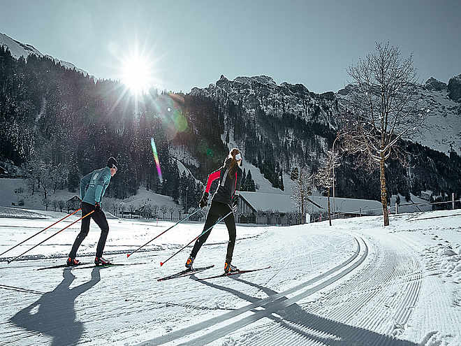
The fascination of ski touring has caught you and you are looking for routes or want to start your first tours this winter? In and around Engelberg there are a variety of ski tours with different levels of difficulty. In the front Engelberg valley, the small rustic Buiräbähnli offer you "start help" on request to get to the starting point of your ski tour.
Alpelenhörnli
Ski Touring · Switzerland

Responsible for this content
Engelberg-Titlis Tourismus Verified partner
Engelberg-Titlis Tourismus Verified partner
Hint
Explanation
Selected alternatives for you
The beautiful northern slopes of the Alpelenhörnli promise the finest powder all winter long. A varied tour in Central Switzerland that will make even beginners and connoisseurs cheer and jubilate.
Distance 3.5 km
1:43 h
758 m
0 m
2,022 m
1,263 m
From the valley station of the Titlisexpress you first climb up the blue slope to Untertrübsee. Pass the bottom station of the Untertrübsee cable car and follow the road under the Stöck-Alpelen material cable car in the direction of Gletti. The route runs for the most part through the alpine forest along the summer hiking trail up to the Arni-Alpelen at the mountain station of the material cableway. From here, one climbs in a large right-hand bend in a southerly direction to the Alpelenhörnli (2,024 m), already visible from a distance.

Author
Engelberg - Titlis Tourismus Update: October 24, 2019
Highest point
2,022 m
Lowest point
1,263 m
Track types
Show elevation profileSafety information
Important information about the ski tour: http://www.sac-engelberg.ch/skitourenroute-alpelenhoernli/
The route may not be taken at night: Wild rest zones
Safety tips for off-piste skiing
- Please note that you are travelling at your own risk.
- A ski tour must be carefully planned.
- Appropriate equipment (avalanche transceiver, probe, shovel, airbag) and clothing are essential safety factors.
- The local ski and mountain guides will take you safely to your destination and back home.
- Emergency call REGA telephone number 1414
Tips and suggestions
Rest stop
Nearby
Top Partner
Waypoint
Start point
End point
Low point
High point
Forecast
Photo
Video
Public transport
National and international connections (from Zurich airport connections every half hour with approx. 1h travel time) to Lucerne. Afterwards with the Zentralbahn in 43 minutes through varied landscape and gorges up to Engelberg.Directions
By car you drive on the A2 (Basel-Gotthard) to Stans Süd, then on the main road 20 km to Engelberg. Engelberg is 30 minutes from Lucerne, 1 hour and 15 minutes from Basel, Zurich or Bern.Parking
Parking spaces are available in Engelberg for a fee.Coordinates
SwissGrid
2'671'457E 1'184'774N
DD
46.810295, 8.374871
DMS
46°48'37.1"N 8°22'29.5"E
UTM
32T 452306 5184273
w3w
///showcases.stiffly.retrain
Get there by train, car, bike, or on foot!
Equipment
The equipment can be rented in the sports shops of Engelberg.
Distance
3.5 km
Duration
1:43 h
Ascent
758 m
Highest point
2,022 m
Lowest point
1,263 m
Morning
Afternoon
·
Weather at the route's trailhead
Statistics
Maps and trails
Nothing selected - click and drag in the elevation profile to zoom
Distance
Duration
Ascent
Descent


