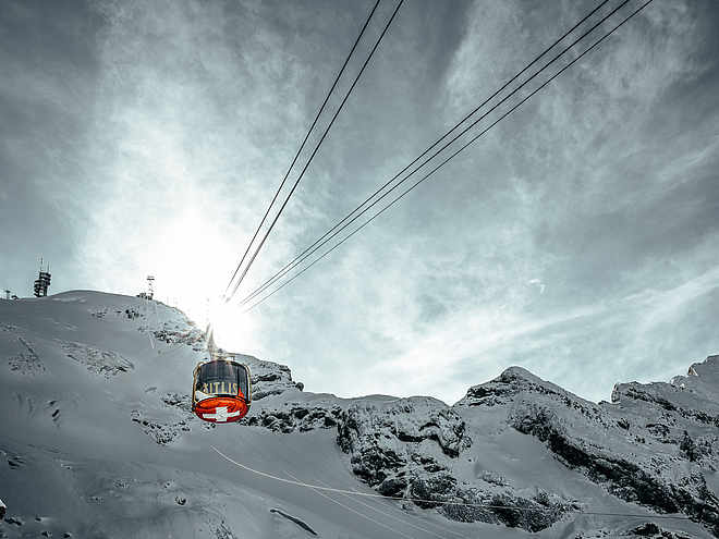
The Engelberg region, with more than 70 km of winter hiking trails, is a paradise for winter hikers. The well-prepared trails lead through snow-covered forests and landscapes. Enjoy the breathtaking panoramic views of the Alps, the fresh mountain air and the sweet sound of snow crunching under your feet.
Comfortable hike through the forest to Gerschnialp and on to Untertrübsee.
moderate
Distance 4.2 km
Duration1:26 h
Ascent304 m
Descent57 m
Highest point1,258 m
Lowest point1,000 m
From Hotel Bänklialp you hike uphill via the Bänklialp path through the forest to Gerschnialp, then continue on the road to Gerschnialp station, along the winter hiking trail through the forest and across the valley floor at the foot of the Bitzistock to Untertrübsee.
Author’s recommendation
The Restaurant Untertrübsee is known for its meringues and is therefore also known by locals and Engelberg lovers as the Meringue curve.
Author
Engelberg - Titlis Tourismus
Update: October 24, 2019
Difficulty
moderate
Overall difficulty
moderate
Derived from the technical difficulty and the stamina requirements.
Experience
Landscape
Highest point
1,258 m
Lowest point
1,000 m
Best time of year
Jan
Feb
Mar
Apr
May
Jun
Jul
Aug
Sep
Oct
Nov
Dec
Track types
Show elevation profile
Safety information
When planning, please refer to the winter sports report where it is indicated whether the winter hiking trails are prepared and open.
National and international connections (from Zurich airport connections every half hour with approx. 1h travel time) to Lucerne. Afterwards with the Zentralbahn in 43 minutes through varied landscape and gorges up to Engelberg.
Directions
Take the Motorway A2 (Basel-Luzern-Gotthard) to Stans-south. From there follow the main road for 20 km to Engelberg. Engelberg is about 30 minutes from Lucerne. From Zurich you need about 1 h 15 min, and from Bern or Basel approximatly 1 h 45 min.
Parking
Parking spaces are available in Engelberg for a fee.
Coordinates
SwissGrid
2'673'580E 1'185'839N
DD
46.819641, 8.402854
DMS
46°49'10.7"N 8°24'10.3"E
UTM
32T 454449 5185294
w3w
///shelter.musical.buzzards
Get there by train, car, bike, or on foot!
Equipment
High and firm hiking boots or winter boots, warm clothes, sun protection, hiking poles are advantageous.
Similar routes nearby
Professorenweg into the valley
Engelberg-Flühmatt
Engelberg-Bergli-Ristis
Engelberg-Fürenalp valley station
Engelberg-Schwand-Ristis
These suggestions were generated by our system
Difficulty
moderate
Overall difficulty
moderate
Derived from the technical difficulty and the stamina requirements.
Distance
4.2 km
Duration
1:26 h
Ascent
304 m
Descent
57 m
Highest point
1,258 m
Lowest point
1,000 m
Groomed snow
Morning
Afternoon
Avalanche conditions
·
Weather at the route's trailhead
Statistics
Content
Show imagesHide images
Features
Maps and trails
Nothing selected - click and drag in the elevation profile to zoom