Snowshoe trails

Well-marked snowshoe trails offer you the opportunity to explore Engelberg's pristine terrain. Rental equipment is available in the local sports shops or directly at the cable car stations. All you need to bring is a bit of fitness, waterproof boots, breathable clothing and small backpack for a drink, sun protection and, if necessary, a change of clothes.

Snowshoeingrecommended route

Gerschnialp-Untertrübsee Trail

Snowshoeing · Engelberg
Logo Engelberg-Titlis Tourismus
Responsible for this content
Engelberg-Titlis Tourismus Verified partner 
  • Photo: Engelberg - Titlis Tourismus, Engelberg-Titlis Tourismus
Hint

Explanation

Selected alternatives for you
    The Gerschnialp Snowshoe Trail is a wonderful way to explore nature as you wander through the Gerschniwald forest at the foot of the Titlis, leaving your tracks in the fresh powder snow.
    Distance 3.8 km
    1:22 h
    138 m
    138 m
    1,267 m
    1,187 m

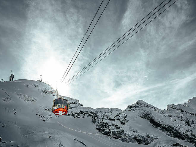
    The Titlis funicular quickly takes snowshoe hikers from the Titlis valley station up to the start of the snowshoe trail. From the mountain station, the route briefly follows the funicular as far as the well signposted start of the Gerschnialp Trail.

    You soon reach the first highpoint on the tour – the Gerschniwald forest, a fairy-tale landscape of snow-bedecked pines and tree stumps. When you reach the edge of the forest at Schlegi, you continue across open ground alongside the Bitzistock. Soon you will see the Untertrübsee restaurant in the distance and know that you are halfway through.

    You can take a welcome break in the restaurant, whose meringue with whipped cream is generally regarded a sensation. Once you have warmed up and eaten your fill, you can embark on the return journey. First, the route takes you across a wide meadow with an open view of the surrounding mountains before passing alongside the edge of the forest and heading to the Gerschnialp mountain station, where the funicular will take you back down to the valley.

    Please ensure you only hike on the signposted snowshoe trail and not the cross-country ski trails alongside it.

    Author’s recommendation

    With the mountain railway "Älplerseil" this trail can also be connected with the Obertrübseetrail. This guarantees even more snowshoe fun.
    Profile picture of Engelberg - Titlis Tourismus
    Author
    Engelberg - Titlis Tourismus 
    Update: March 24, 2021
    Highest point
    1,267 m
    Lowest point
    1,187 m
    Best time of year
    Jan
    Feb
    Mar
    Apr
    May
    Jun
    Jul
    Aug
    Sep
    Oct
    Nov
    Dec

    Track types

    Show elevation profile

    Safety information

    Please walk along the marked and secured snowshoe paths. The user is responsible for the proposed routes. If you are planning a different route, please refer to the avalanche bulletin, maps and weather forecast.

    Tips and suggestions

    Gastronomy: Mountain Restaurant Untertrübsee

    Overview map

    Snow report

    Tickets and Prices

    Start

    Gerschnialp mountain station
    Coordinates:
    SwissGrid
    2'672'782E 1'185'034N
    DD
    46.812485, 8.392271
    DMS
    46°48'44.9"N 8°23'32.2"E
    UTM
    32T 453635 5184505
    w3w 
    ///misted.radiates.memory

    Destination

    Gerschnialp mountain station

    Public transport

    National and international connections (from Zurich airport connections every half hour with approx. 1h travel time) to Lucerne. Afterwards with the Zentralbahn in 43 minutes through varied landscape and gorges up to Engelberg.

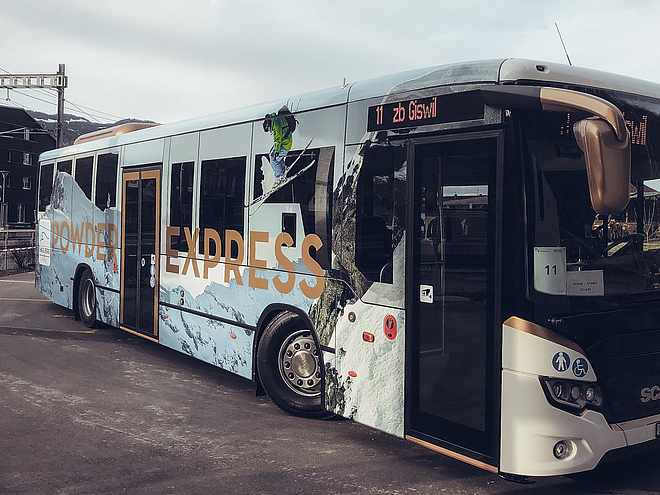
    From Engelberg station take the free sports bus to the Titlis valley station and from there take the funicular to the starting point of the tour on Gerschnialp.

    Directions

    By car you drive on the A2 (Basel-Gotthard) to Stans Süd, then on the main road 20 km to Engelberg. Engelberg is 30 minutes from Lucerne, 1 hour and 15 minutes from Basel, Zurich or Bern.

    Parking

    Parking spaces are available in Engelberg for a fee.

    Coordinates

    SwissGrid
    2'672'782E 1'185'034N
    DD
    46.812485, 8.392271
    DMS
    46°48'44.9"N 8°23'32.2"E
    UTM
    32T 453635 5184505
    w3w 
    ///misted.radiates.memory
    Get there by train, car, bike, or on foot!

    Equipment

    Rent your equipment in the local sports shops.

    Similar routes nearby

    • Obertrübsee Trail
    • Schönenboden-Trail Brunni
    • Riedalp-Trail Brunni
    • Grotzli Trail Fürenalp
    • Titlis Trail Fürenalp
     These suggestions were generated by our system
    Distance
    3.8 km
    Duration
    1:22 h
    Ascent
    138 m
    Descent
    138 m
    Highest point
    1,267 m
    Lowest point
    1,187 m
    Round tripRefreshment stops available
    1600 m1800 m
    Morning
    1600 m1800 m
    Afternoon

    Avalanche conditions

    ·

    Weather at the route's trailhead

    Statistics

    • Content
    • Show imagesHide images
    Features
    Maps and trails
    • Route
    • Gradient
    Push the arrows to change the view
     km Distance
    : h Duration
     m Ascent
     m Descent
     m Highest point
     m Lowest point