Trailrunning
Let yourself be inspired by the varied trails in Engelberg and discover the countless routes that lead you to the most beautiful viewpoints!
Flühmatt Trail
Trail Running · Switzerland

Responsible for this content
Engelberg-Titlis Tourismus Verified partner
Engelberg-Titlis Tourismus Verified partner
 Photo: Engelberg - Titlis Tourismus, Engelberg-Titlis Tourismus
Hint
Explanation
Selected alternatives for you
Sunny excursion with view over the village.
easy
Distance 5.3 km
1:19 h
448 m
448 m
1,416 m
1,004 m
After the monastery, past the cemetery, we cross the Ochsenmatt up to the boat to the Flühmatt, from where a wonderful view and the world's best Älplermagronen are waiting for us. Rockier downhill run into the valley.
Author’s recommendation
The monastery and the "Älplermagronen" in the restaurant Flühmatt.

Author
Engelberg - Titlis Tourismus Update: July 27, 2020
Difficulty
easy
Overall difficulty
easy
Derived from the technical difficulty and the stamina requirements.
Experience
Landscape
Highest point
1,416 m
Lowest point
1,004 m
Best time of year
Jan
Feb
Mar
Apr
May
Jun
Jul
Aug
Sep
Oct
Nov
Dec
Track types
Asphalt
0.7 km
Forested/wild trail
0.2 km
Path
4 km
Road
0.4 km
Tips and suggestions
Restaurant Flühmatt: https://brunni.ch/26/en/restaurant-fluhmatt
Turn-by-turn directions
Gmeinegg, Oberes Bord, Flühmatt, Zelgli, Engelberg
Rest stop
Nearby
Top Partner
Waypoint
Start point
End point
Low point
High point
Forecast
Coordinates
SwissGrid
2'673'816E 1'186'032N
DD
46.821352, 8.405980
DMS
46°49'16.9"N 8°24'21.5"E
UTM
32T 454689 5185483
w3w
///teardrop.lasts.isolated
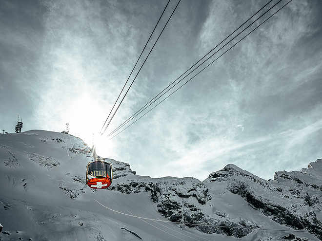
Get there by train, car, bike, or on foot!
Difficulty
easy
Overall difficulty
easy
Derived from the technical difficulty and the stamina requirements.
Distance
5.3 km
Duration
1:19 h
Ascent
448 m
Descent
448 m
Highest point
1,416 m
Lowest point
1,004 m
Weather at the route's trailhead
Statistics
Maps and trails
Nothing selected - click and drag in the elevation profile to zoom
Distance
Duration
Ascent
Descent