Hiking trails
Hiking with far-reaching view, breathing in fresh alpine air, giving your circulation new wellbeing, breathing in the scents of flowers, giving your senses new experiences: Over 500km of hiking trails invite to be discovered.
Little Patagonia Loop

Engelberg-Titlis Tourismus Verified partner
 Photo: Engelberg - Titlis Tourismus, Engelberg-Titlis Tourismus
Explanation
Whether you hike up the path or first take the Fürenalp cable car and hike into the valley - you decide. Regardless of which variant you choose, the hike is unique over alpine meadows, along the Engelbergeraa and past the impressive and legendary Stäuber waterfall. During the alpine summer, various pubs invite you to stay or you can visit the alpine cheese dairys Surenen on Aebnet or Stäfeli.
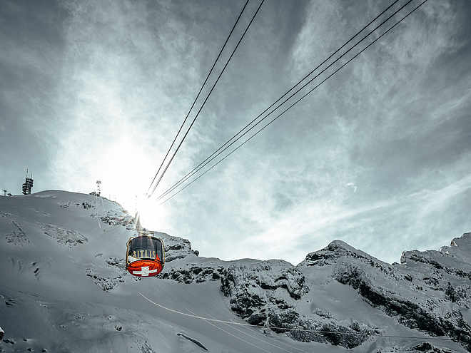
On the hike you will be accompanied by rushing mountain streams that plunge from the Grassengrat into the deep falls. You will walk along the Engelbergeraa, past the Stäuber waterfall, over fragrant alpine meadows with unique flowers and, during the alpine summer, a mountain restaurant with delicious food will tempt you again and again. The hike is part of the Alpine Cheese Trail and leads past the Stäfeli and Surenen Alpine cheese dairy. Glide over the rugged rock face with the Fürenalp cable car. Let your soul dangle on the panoramic terrace of Fürenalp and feast on unique views of the majestic mountain world.
Author’s recommendation
If you want to shorten the hike, it is advisable to use the circular route Fürenalp and Aebnet Bahn.

Derived from the technical difficulty and the stamina requirements.
Track types
Show elevation profileRest stops
Bergrestaurant FürenalpRestaurant Alpenrösli
Berggasthaus Stäfeli
Tips and suggestions
The mountain restaurants such as Hobiel, Aebnet, Stäfeli and Alpenrösli as well as the Aebnet cable car are only open during the Alpine summer. Likewise, the Surenen and Stäfeli cheese dairy is only open during the Alpine summer. In spring and autumn please enquire about the opening hours.
Public transport
National and international connections (from Zurich airport connections every half hour with approx. 1h travel time) to Lucerne.Afterwards with the Zentralbahn in 43 minutes through varied landscape and gorges up to Engelberg.Directions
By car you drive on the A2 (Basel-Gotthard) to Stans Süd, then on the main road 20 km to Engelberg. Engelberg is 30 minutes from Lucerne, 1 hour and 15 minutes from Basel, Zurich or Bern.Parking
Parking spaces are available in Engelberg for a fee.Coordinates
Derived from the technical difficulty and the stamina requirements.